

Location Intelligence Software
Use MVPLUS for your site location analysis, site assessments and to target customers
Contact GMAP Today
Location Intelligence Software
Use MVPLUS for your site location analysis, site assessments and to target customers
MVPLUS Geospatial and Location Intelligence Software
MVPLUS is a self-serve Geographical Information System
(GIS), designed to allow you to undertake your own site location analysis to enhance your understanding of the spatial relationships between your network and your customers. It is the latest version of our long-running MicroVision system which is now hosted in Microsoft’s Azure platform, to enable flexible working practices and secure distribution of the system. GMAP provide MVPLUS training
and continual helpdesk
and technical support
as part of your MVPLUS licence.


Features
- Import and analyse your own or licensed data.
- Map your customers, outlets and data against street mapping, aerial or Ordnance Survey backdrops, linking to Google Street View for desktop surveys.
- Overlay multiple point or polygon thematic maps layers to explore your data.
- Save your work to pick-up later, where you left off, in workviews.
- Quickly and easily create catchments around individual outlets, or batch up your entire network, using drive time, distance, radius or nearest rules.
- Access, sort, filter and export licensed datasets at multiple geographical layers, e.g. Census data at Output Area or Postcode Sector level.
Applications
- Understand your customers and identify hotspots where you can target prospects.
- Develop site location strategies through calculating detailed catchment statistics for current and potential site locations and exploring overlap and cannibalisation.
- Create, edit and analyse non-overlapping sales territories by drive time, driving distance or radius rules.
- Produce detailed market report summaries for your sites through aggregation and calculations of base data, RetailVision data and any imported data.
- Complete logistical analysis for optimisation of people and points.
Why MVPLUS?
- MVPLUS allows users to carry out independent site location analysis to understand the geospatial relationships between their network and customers with helpdesk support.
- Regularly updated multitude of geographical data and mapping layers.
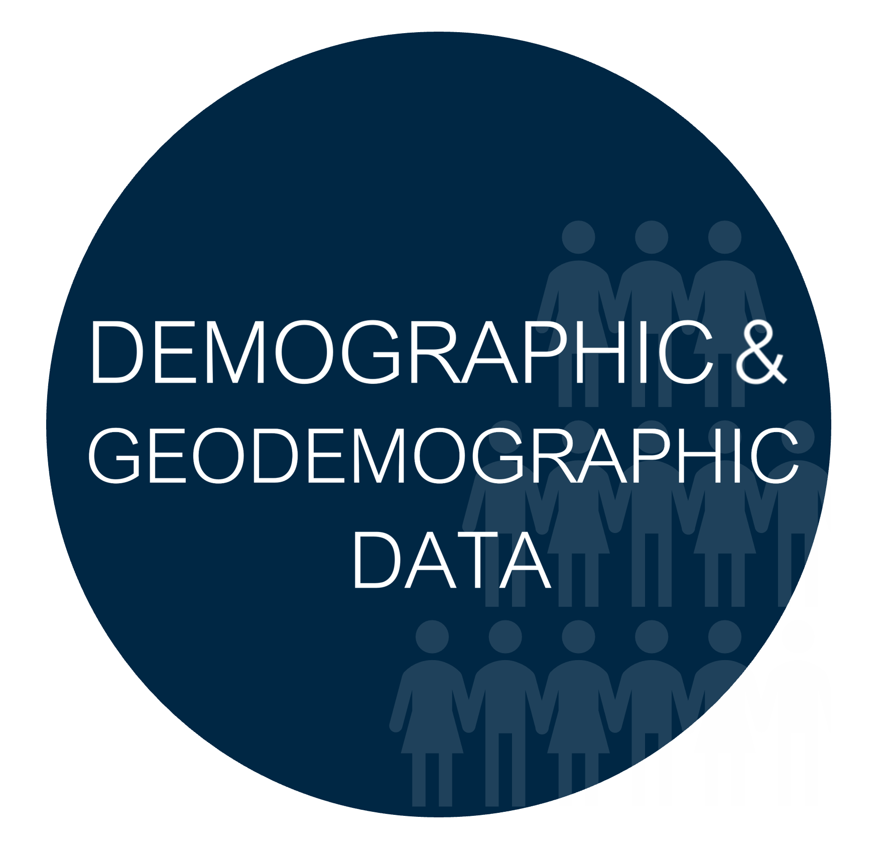
Additional Datasets
GMAP's additional data products can be added to MVPLUS to create further insight:


Testimonials

Slide title
Write your caption hereButton
Slide title
Write your caption hereButton
Slide title
Write your caption hereButton
Slide title
Write your caption hereButton
Slide title
Write your caption hereButton
MVPLUS Geospatial and Location Intelligence Software
MVPLUS is a self-serve Geographical Information System
(GIS), designed to allow you to undertake your own site location analysis to enhance your understanding of the spatial relationships between your network and your customers. It is the latest version of our long-running MicroVision system which is now hosted in Microsoft’s Azure platform, to enable flexible working practices and secure distribution of the system. GMAP provide MVPLUS training
and continual helpdesk
and technical support
as part of your MVPLUS licence.
Features
- Import and analyse your own or licensed data.
- Map your customers, outlets and data against street mapping, aerial or Ordnance Survey backdrops, linking to Google Street View for desktop surveys.
- Overlay multiple point or polygon thematic maps layers to explore your data.
- Save your work to pick-up later, where you left off, in workviews.
- Quickly and easily create catchments around individual outlets, or batch up your entire network, using drive time, distance, radius or nearest rules.
- Access, sort, filter and export licensed datasets at multiple geographical layers, e.g. Census data at Output Area or Postcode Sector level.
Applications
- Understand your customers and identify hotspots where you can target prospects.
- Develop site location strategies through calculating detailed catchment statistics for current and potential site locations and exploring overlap and cannibalisation.
- Create, edit and analyse non-overlapping sales territories by drive time, driving distance or radius rules.
- Produce detailed market report summaries for your sites through aggregation and calculations of base data, RetailVision data and any imported data.
- Complete logistical analysis for optimisation of people and points.
Why MVPLUS?
- MVPLUS allows users to carry out independent site location analysis to understand the geospatial relationships between their network and customers with helpdesk support.
- Regularly updated multitude of geographical data and mapping layers.
Additional Datasets
GMAP's additional data products can be added to MVPLUS to create further insight:
Testimonials

Slide title
Write your caption hereButton
Slide title
Write your caption hereButton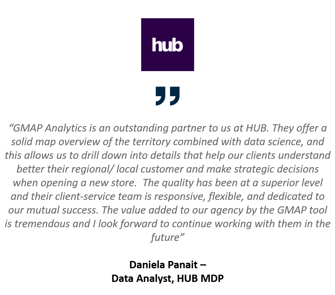
Slide title
Write your caption hereButton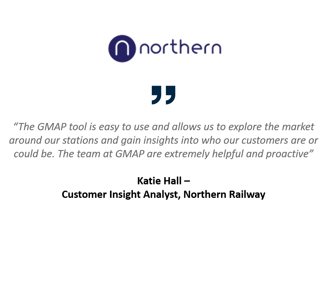
Slide title
Write your caption hereButton


MVPLUS Case Studies

MVPLUS for a Restaurant Chain
Growing Restaurant Chain use MVPLUS to support data-driven decisions to plan for the national expansion of their restaurants in the UK >>

MVPLUS for a Health & Beauty Retailer
Major UK Health & Beauty Retailer use MVPLUS to self-serve their location intelligence >>